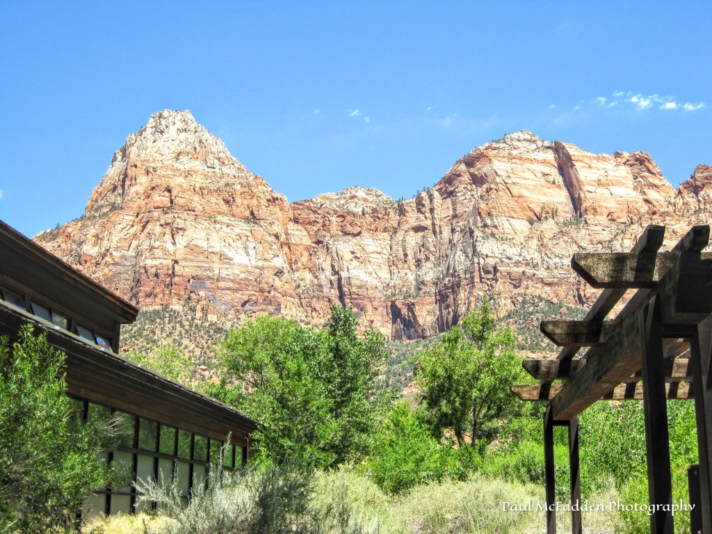
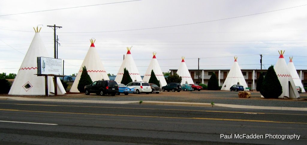
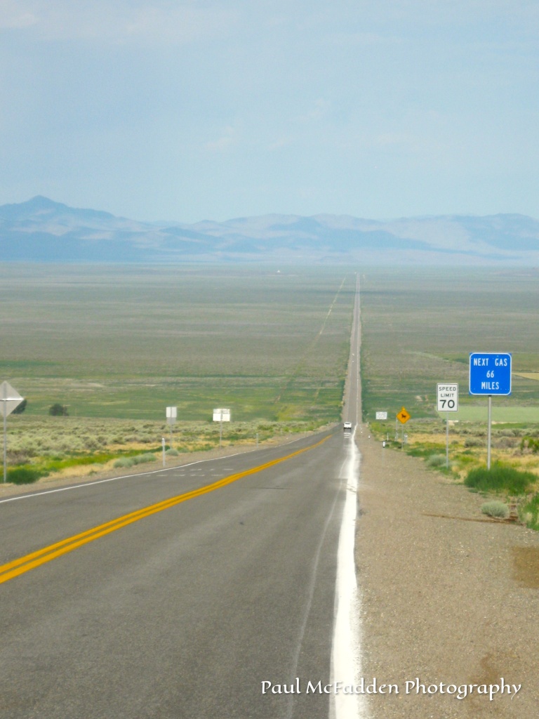
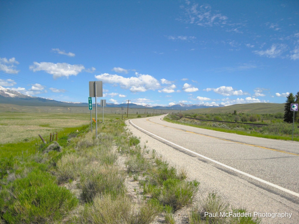
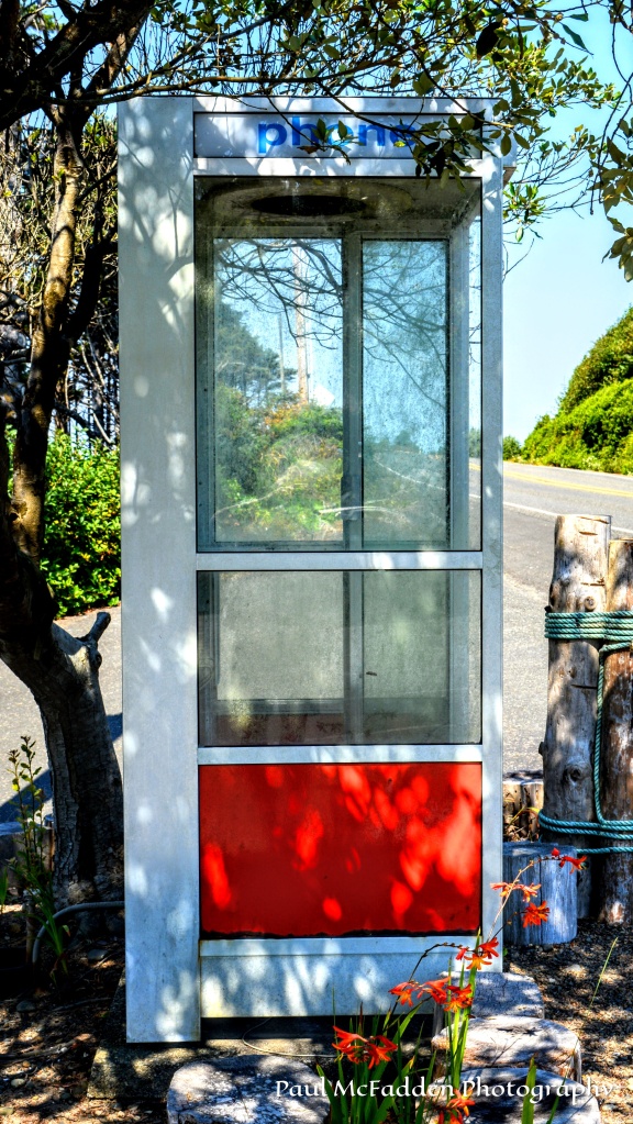
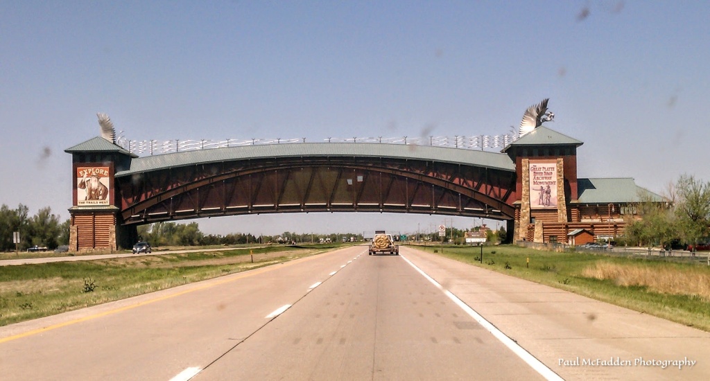
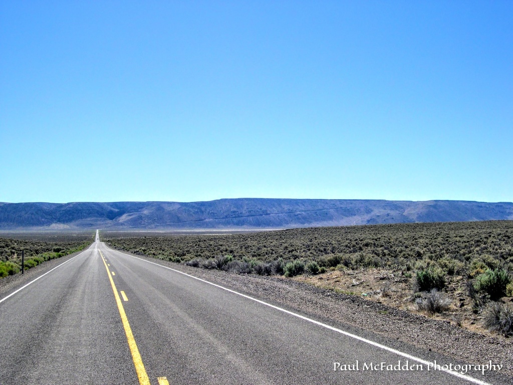
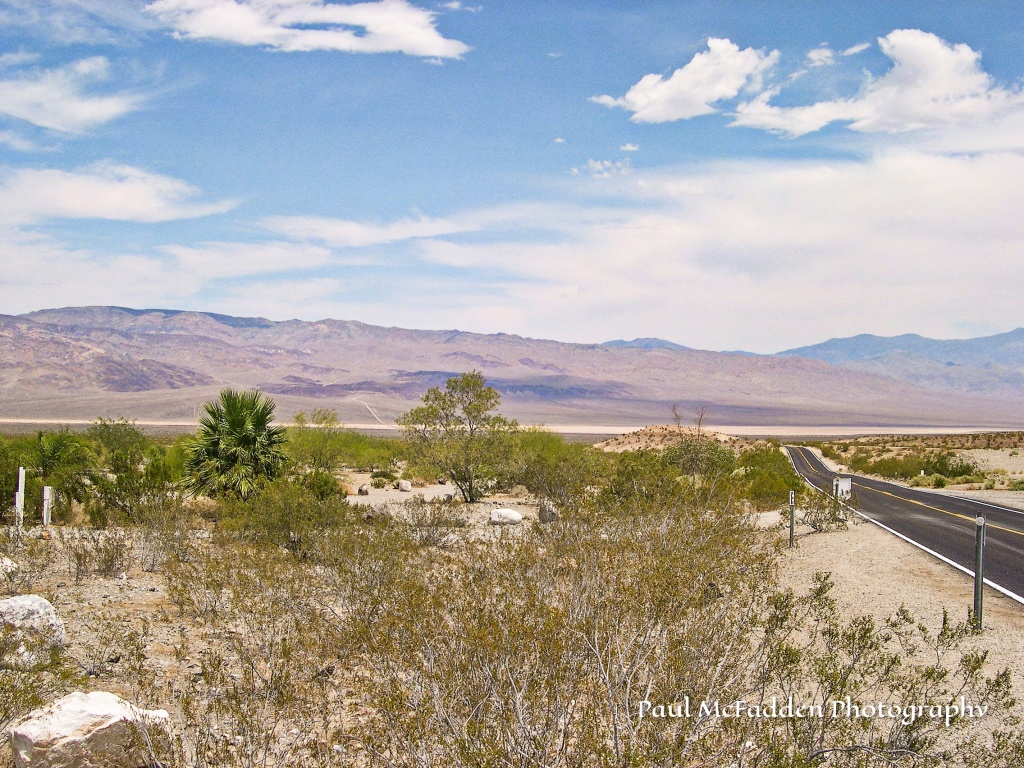
Headed down a long stretch of highway at 70 mph with nothing in sight. The next gas station is 66 miles away. Then, out of no-where, there’s a 50ft tall flashing neon arrow sign pointing towards a little ma & pa diner along side of the road inviting you in for a meal. You pull off and you find the food is good, the people are warm and welcoming, and the stories shared are fun and heart felt. It’s a stop the will be treasured and shard for a long time.
Paul McFadden Photography
Always in Search of That Next Picture
Clap the Hands…. “Click” on them if you like the picture above…. Thanks!
CONTACT: Paul McFadden – paulmcfaddenphotography@outlook.com
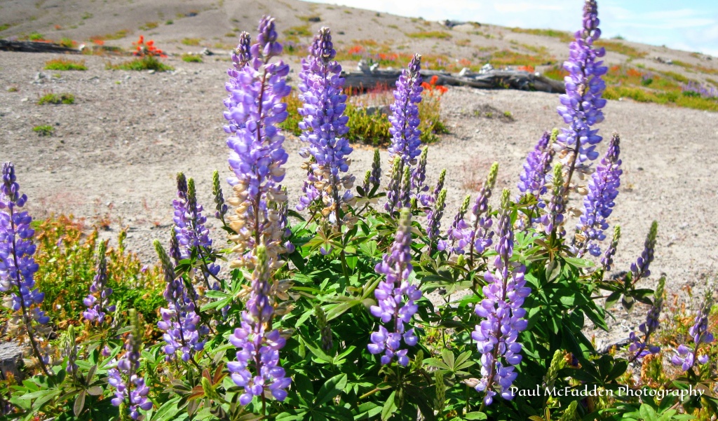
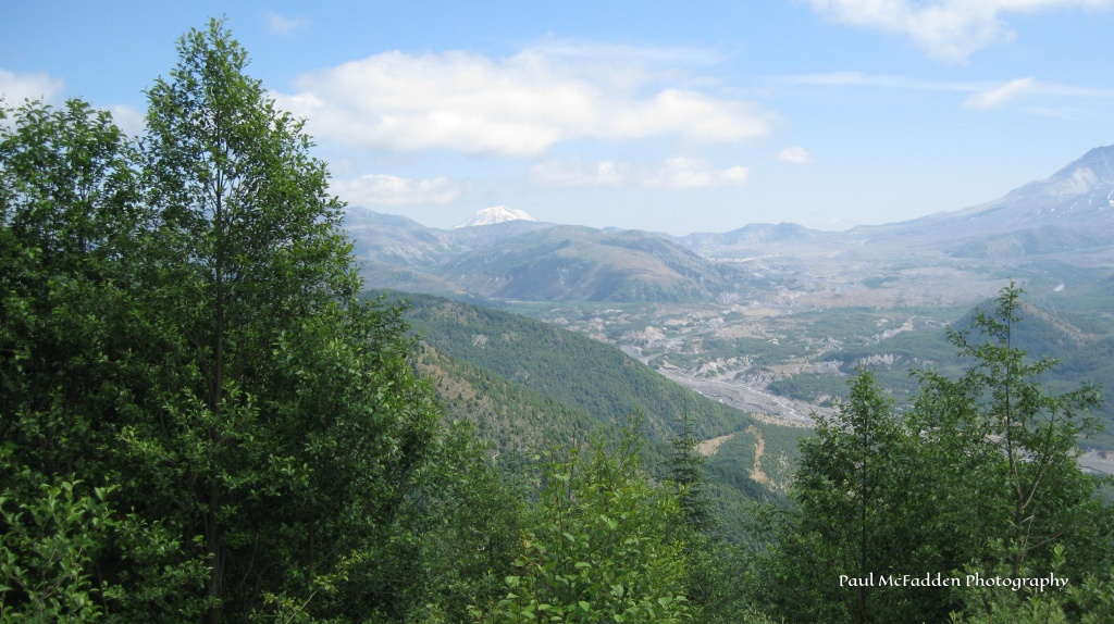
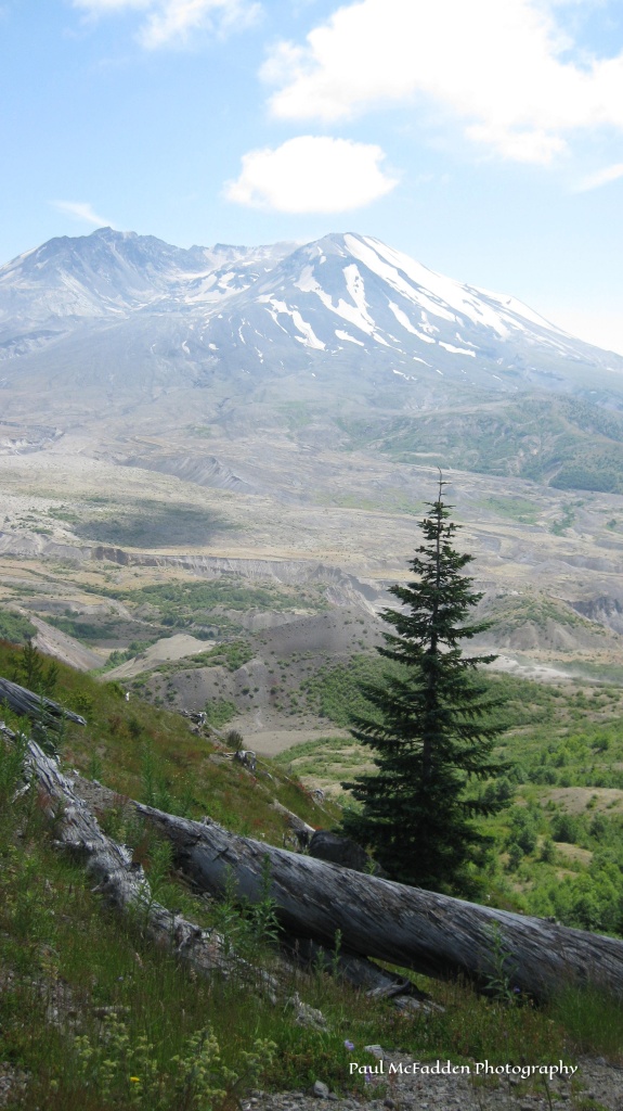
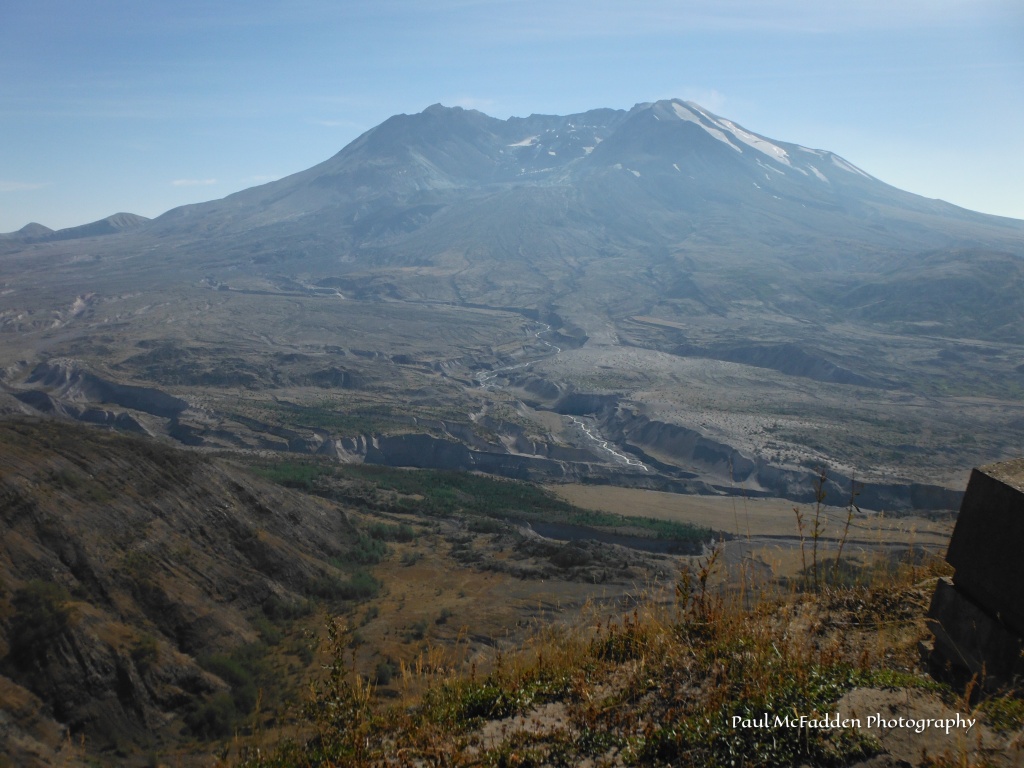
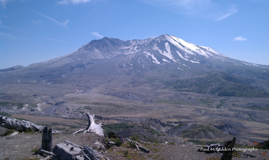
During the month of May I’ve posted pictures daily that I took of the aftermath of the May 18, 1980eruption of Mount Saint Helens in Washington State. Starting with pictures from a flight we took to the mouth of the crater and down the Toutle River Valley in March of 1981 (10 months after the eruption) and ending with photos taken 30 plus years later showing nature’s recovery of the area. This is the final picture of the series. – I hope you’ve ENJOYED all these pictures of MOUNT SAINT HELENS!
Always in Search of That Next Picture
Clap the Hands…. “Click” on them if you like the pictures above…. Thanks!
CONTACT: Paul McFadden – paulmcfaddenphotography@outlook.com
For the month of May I am posting pictures daily that I took of the aftermath of the May 18, 1980eruption of Mount Saint Helens in Washington State. Starting with pictures from a flight we took to the mouth of the crater and down the Toutle River Valley in March of 1981 (10 months after the eruption) and ending with photos taken 30 plus years later showing nature’s recovery of the area. ENJOY!
Always in Search of That Next Picture
Clap the Hands…. “Click” on them if you like the picture above…. Thanks!
CONTACT: Paul McFadden – paulmcfaddenphotography@outlook.com
This article is from Road Trip Journal – rdtripjournal.com – it was originally published in 2020, the 40th Anniversary of the Eruption of Mount Saint Helens – 1980
This article was written by me. The photos were either taken by me, were gifts from other photographers, or were captured on Google. ENJOY!
Paul McFadden Photography
This picture above was taken the Fall of 1980, about four months after the eruption. What was Spirit Lake is in the foreground covered in logs and debris. If you look closely you can see the blown down trees and timber on the surrounding ridges caused by the sideways energy of the eruption on the morning of May 18, 1980.
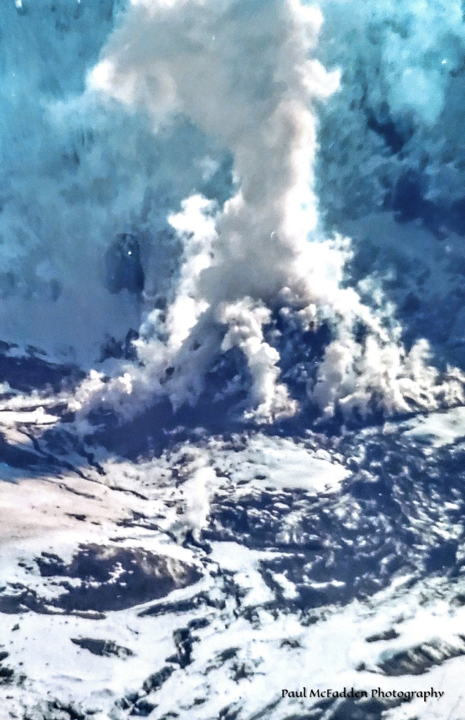
Living within 50 miles of Mt. St Helens we got to experience 1st hand the imagined excitement, broadcast by Paul Harvey on his daily radio news casts and other TV news reports, of the small eruptions shooting plumes of steam and ash 20,000 ft (about the length of 60 city blocks) skyward from the time the mountain woke up with her first rumblings on March 28th 1980.
Beginning in March of 1980 small eruptions began on Mt. St Helens.The steam and ash plume rose up to 20,000 ft.With each small eruption before May 18, 1980, St Helens gave warning as to what was about to happen.
But the devastation and aftermath from the May 18th eruption of Mt.St Helens, blowing 1,300 ft (about the height of the Empire State Building) off her top, curtailed the excitement to a feeling of wonderment and loss.
May 18, 1980, 8:32 a.m. PDT – Mount Saint Helens started it’s major eruption.
The May18th eruption of Mt. St Helens brought death (57 people perished in the eruption) and destruction to the area around the volcano. The ash plume blocked the sun and turned day into night for 100’s of miles to the east, showering 6″ of ash on Yakima and Ritzville, WA and other small communities in Eastern Washington. Ash fell in Washington, Idaho, and Montana with reports of light dustings of ash farther east. Like every summer for 25 years (1975 – 2000) we traveled east on I-90 through this area on our way to Northern Minnesota for our West Coast / East Coast family reunion at my parent’s lake cabin. In the summer of 1980 the ash alongside of the highway in Eastern WA was thick. Eastern Washington, with its flat rolling farmland, is known for its hot and windy weather in the summer months, which in turn made the area (including most of the 80’s) encompassed with dozens of “ash” dust twisters rolling across the land as far as you could to see….all the way to the horizon. We found ash on our Road Trip as far east as Billings, MT that summer. It is funny, as we made this journey east on I-90 yearly, we always stopped in Butte, MT at a little gift shop on Harrison Ave called the Butte Copper Company. Talking to the owner, that summer of 1980, I asked her how much Mt. St Helens ash they got. She replied….a very heavy dusting and like a fool, she continued, she hosed it all off her property down the storm drain instead of sweeping it up and packaging it in little samples packets and selling it to every tourist who came in and asked her if they received any ash fall from the eruption of Mt. St Helens.
On May 26,1980, Mount Saint Helens had another major eruption with the wind carrying the ash plume north and west. The ash covered our hometown area of Centralia/Chehalis WA with at least 2 inches. Of course, we had learned some of the lessons we had been seeing on TV, and reading about, how folks had been coping with the ash in Eastern WA – from wearing face masks to putting pantyhose over your car’s carburetor air intake – in other words – the ash got into everything. My mom and dad, who lived in Centralia, started getting calls from all over the country, from family and friends, asking about the Mt. St Helens and the ash. Being a girl of the Great Depression, my mom saved everything, including dozens of empty Folger’s Coffee cans….why?….I don’t know….but because she had all these coffee cans, she filled them with ash and sent them to all these folks who called and asked “how they were doing” and about the ash. After my folks passed away, and we were clearing out their home, in their panty/freezer room, in the attached garage, I found one of the Folger’s Coffee cans filled with ash. I still have it, but I’m guessing the Folger’s Coffee can is worth more than the ash.
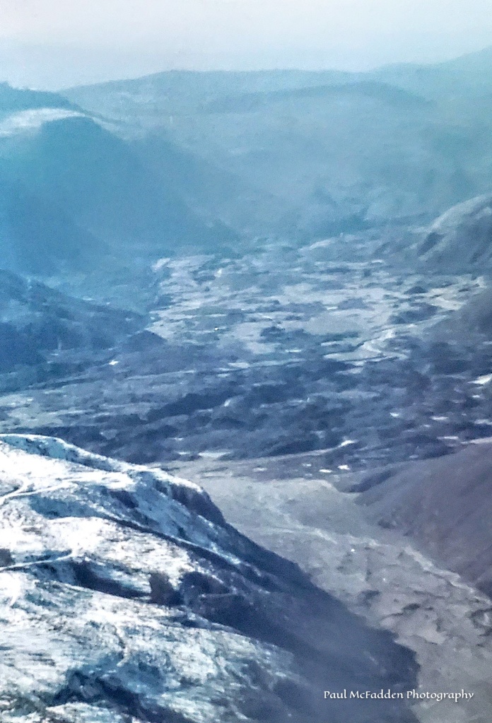
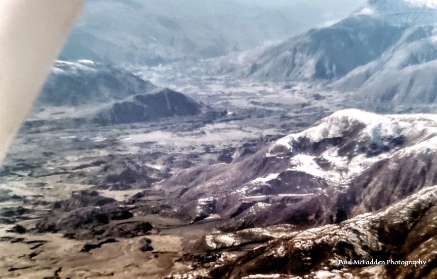
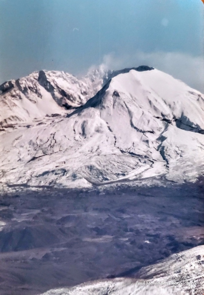
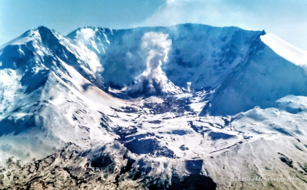
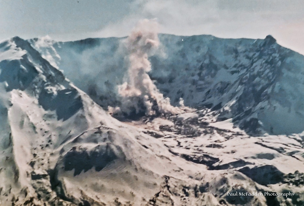
About one year after the May 18th eruption of Mt. St Helens, on March 17, 1981, (Saint Patrick’s Day) my in-laws, Becky and I chartered a small Cessna airplane to fly us to the mountain. The airport, where we hired the plane and pilot, was at Toledo WA, which is about 40 miles, as the crow flies, west of the mountain. What was fun, interesting, and even scary is that as the pilot flew towards St Helens, and over Spirit Lake, the crater of the volcano was in full view. Of course, we all thought this was a magnificent view of the mountain and devastation, but as we got closer to the mountain the pilot just kept going and flying right along side and into the crater. We felt like we could reach out and touch the building lava dome as we flew right beside it….which in all reality was crazy but really cool.
Flying towards the crater with the lava dome in view.Flying beside the building lava dome.Leaving the crater.
The pilot continued flying down the North Fork of the Toutle River Valley letting us see all the destruction from the mud flows. I will say, without hesitation, that this was a very thrilling plane ride with the views planted in my mind that still remain today. Images, that when then President Carter came out to the area to view the destruction, described the area as a lunar moonscape.
I can’t tell you how many times we’ve visited the Mount Saint Helens area, taking family and friends to the volcano over the years. But, as generations pass and the mountain and surrounding area is “greening up” and recovers, the May 18,1980 eruption of St Helens is becoming a distant memory. Fortunately, the eruption of the mountain was well documented with photos, news reels, and written memories.
Continuing below are more pictures of the destruction in the area around Mount Saint Helens.
A Weyerhaeuser logging yard along the North Fork of the Toutle River wiped out by the mud and debris flow.A car that was trapped in the mud and debris flow.
Homes along the North Fork of the Toutle River destroyed in the mud and debris flow.Timber blow down from the sideways blast of the eruption. Notice the vehicles and bridge in this picture.The mud and debris flow down the North Fork of the Toutle river. Notice the helicopter making a rescue. The mud and debris flow completely knocked a bridge span off it’s foundation and carried it down river After the mud and ash dried up .
We hope these pictures, along with our thoughts and memories, help you experience and understand the May 18, 1980 eruption of Mount Saint Helens.
To learn more about the eruption of Mount Saint Helens just “Google” it and a wealth of information pops up.
We’ll finish this with a treasured memory from the past………..
Enjoy The Journey.
Always in Search of That Next Picture
Clap the Hands…. “Click” on them if you enjoyed these pictures and article…. Thanks!
CONTACT: Paul McFadden – paulmcfaddenphotography@outlook.com
For the month of May I am posting pictures daily that I took of the aftermath of the May 18, 1980eruption of Mount Saint Helens in Washington State. Starting with pictures from a flight we took to the mouth of the crater and down the Toutle River Valley in March of 1981 (10 months after the eruption) and ending with photos taken 30 plus years later showing nature’s recovery of the area. ENJOY!
Always in Search of That Next Picture
Clap the Hands…. “Click” on them if you like the picture above…. Thanks!
CONTACT: Paul McFadden – paulmcfaddenphotography@outlook.com
For most of the month of May, I am posting pictures daily that I took of the aftermath of the May 18, 1980eruption of Mount Saint Helens in Washington State. Starting with pictures from a flight we took to the mouth of the crater and down the Toutle River Valley in March of 1981 (10 months after the eruption) and ending with photos taken 30 plus years later showing nature’s recovery of the area. ENJOY!
Always in Search of That Next Picture
Clap the Hands…. “Click” on them if you like the picture above…. Thanks!
CONTACT: Paul McFadden – paulmcfaddenphotography@outlook.com
For most of the month of May I am posting pictures daily that I took of the aftermath of the May 18, 1980eruption of Mount Saint Helens in Washington State. Starting with pictures from a flight we took to the mouth of the crater and down the Toutle River Valley in March of 1981 (10 months after the eruption) and ending with photos taken 30 plus years later showing nature’s recovery of the area. ENJOY!
Always in Search of That Next Picture
Clap the Hands…. “Click” on them if you like the picture above…. Thanks!
CONTACT: Paul McFadden – paulmcfaddenphotography@outlook.com
For most of the month of May, I am posting pictures daily that I took of the aftermath of the May 18, 1980eruption of Mount Saint Helens in Washington State. Starting with pictures from a flight we took to the mouth of the crater and down the Toutle River Valley in March of 1981 (10 months after the eruption) and ending with photos taken 30 plus years later showing nature’s recovery of the area. ENJOY!
Always in Search of That Next Picture
Clap the Hands…. “Click” on them if you like the picture above…. Thanks!
CONTACT: Paul McFadden – paulmcfaddenphotography@outlook.com
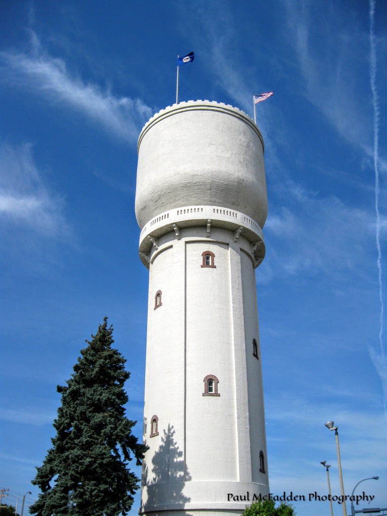
The “bowl” on top of the Brainerd Water Tower is a continuous poured concrete structure (poured at one time) and when it was constructed, the basin was the World Largest continuous poured concrete structure.
A view from inside the Brainerd Water Tower.
Always in Search of That Next Picture
Clap the Hands…. “Click” on them if you like the picture above…. Thanks!
CONTACT: Paul McFadden – paulmcfaddenphotography@outlook.com
FOLLOW: paulmcfaddenphotography.com
Advertisements
You Can Share This - Just "Click" On The Icon Below - Thanks!